It was such a pretty day out, but hot where I live, so I took off for higher elevation. I drove up to Mount Laguna in search of something do-able with my feet but still new for my brain. I stopped at the grocery store in Pine Valley and cracked open my copy of Afoot and Afeild to see what jumped out.

I couldn't really decide on a particular trail so I just kind of drove up the hill until I came to Wooded Hill road. I actually passed it at first and swooped into the fire department's parking lot where they were busily shredding trees into mulch. I back tracked and turned onto what was a paved road but with massive potholes so I took it slow. I reached a locked gate after about a mile and a horse staging area where I parked. I saw a trailhead that I thought was the Wooded Hill nature trail but it turned out to be a spur of the Big Laguna Trail. I shrugged my shoulders and hiked out anyway and soon the trail turned to road. I then crossed a fence and came to a junction called the Gatos Ravine Trail.


After a short stroll down the spur I came to this sign. I read it thoroughly and while it said it was mainly intended for mountain bikes, it wasn't off limits to hikers. I thought for a bit and decided that since it was a tuesday afternoon, how many mountain bikers can there be? I took off down the sandy path all the while keeping my ears trained behind me for the sound of whirring tires.

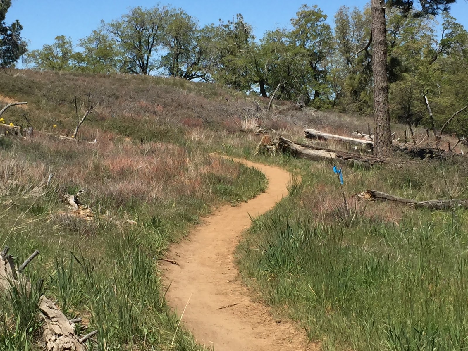
It was clear as a bell out and the smell of the cedar trees in the sun was amazing. I walked slowly down the meandering path and tried to clear my mind.

After an easy climb I arrived on top of a small butte and looked around at the ranges across in the distance. I could see the Palomar Observatory, Cuyamaca Peak and the Laguna Observatory. The trail then wound down, down, down, for a long time in a slow and winding fashion and I noted to myself that I was going to pay for all of this easy going later when I had to hike out.


Hiking this trail made me actually want to ride mountain bikes! The trail crew have carved dead trees into ramps and made jumps and cool stuff like that! I came to a junction in the trail where I could head into a really hard mountain bike route or divert to the Chico Ravine trail. I checked in with my feet and my map to figure out where I should go.

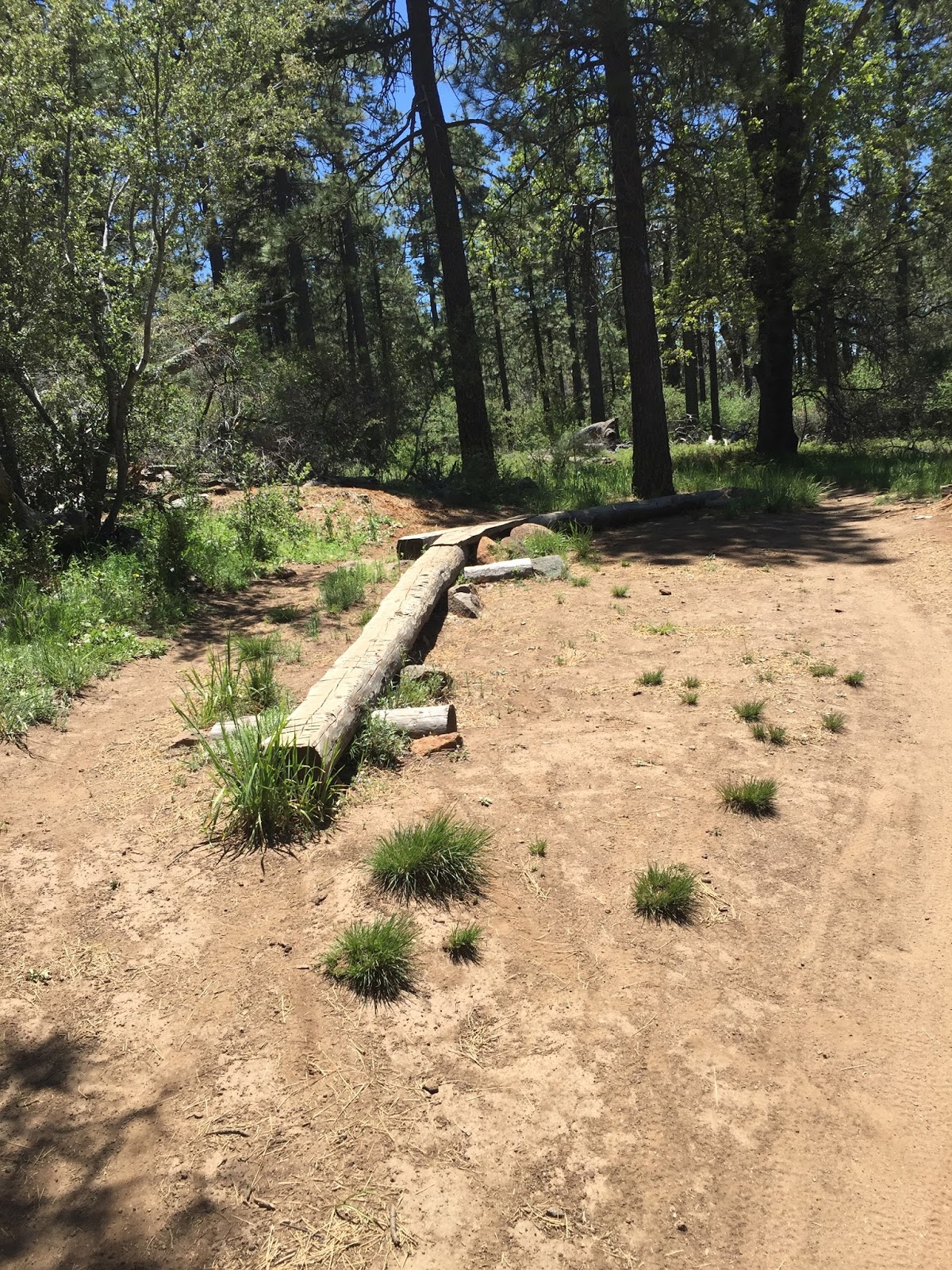

I opted to take the hard path and do the Gatos Ravine in its entirety. It wasn't particularly difficult for me, but I could see how it would be a challenge on a bike.

After what felt like half a mile (I have no idea if it was though, my internal mileage ticker is super off lately) I arrived at another spur of the BLT. I found a shady spot in the grass and sat down to rest my now aching feet. I looked at my map to find the most direct route back to the truck without having to climb back up all of that elevation I'd just lost when I was visited by a couple of equestrians. I recognized the horses as those that were prepping for their ride in the staging area where I parked my car.


The lady on the pretty white horse said I looked very peaceful sitting there and I commented at how nice a day it was. We finished our pleasantries and I watched as they continued on into the valley. I thought to myself, horses love easy paths so maybe I should follow them.

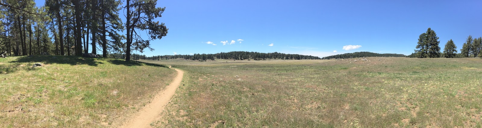
I did just that, and headed on toward Chico Ravine. The trail opens up into a huge valley with waving grasses and birds popcorning out of the brush catching bugs. The air was warm but there was a breeze and I was loving the poofy clouds.
I followed the horse tracks across the valley and to the Chico Ravine trail.


Something caught my eye off to my right and I diverted from my route to check it out. As I emerged from the tree cover I found a tiny grave yard.

The internet has since told me that these people were once the owners of the Laguna Ranch, which is still there today, and that two of them were called the Campo Cowboys. I guess there was three brothers and two are buried here, the other in the Owens Valley.

It's hard to see by my picture here, but there were tons of guys going cross country with big heavy packs all around the areas I was hiking in. I couldn't figure out what they were doing but I settled on them being hunters. Whether or not they were, I don't know.


I returned to the Chico Ravine trail and started to gain back that elevation I had lost. I was now getting hot and tired but still having a good time even while out of breath.

I knew that the elevation gain here was not that crazy, but damn, I was huffing and puffing! I finally rounded back to the junction between the Chico Ravine and the Gatos Ravine trails. Here I met up with a couple who asked me if I knew if the trail connected with the road. I told them that the way I had come it didn't, but that I had seen a sign for a spur that said it would take them to the S-1. I asked if they had a map and when they didn't, I offered them mine. I had been using google maps most of the day, so I felt I was ok without it, especially being back in familiar territory.

The couple thanked me and headed on and it was only a few more minutes before I realized I had taken a wrong turn. Too filled with ego I refused to backtrack and meet with the couple I just convinced I didn't need my map, so I decided to repeat a section of the Gatos Ravine trail. The steep part. I'm still working on that ego.

I climbed steadily and in the heat and while it wasn't anything I couldn't handle, my out of shape body said we might throw up so I took frequent breaks in the shade to keep that from happening. This is my "I hope I don't barf" face.

At last I reached the junction of trail and road back to my truck. This spur took you to a camp ground called Agua Dulce and it rekindled my memories of following the PCT into the actual Agua Dulce and the Saufleys'. I think I've come a long way mentally since then. At least, I hope I have.

I passed thru the fence to get back onto Wooded Hill road and spotted a random seashell stuck in the fence.

The road walk was way longer than I remembered and I doubted myself a few times, thinking I had made a wrong turn. I thought back to all of my road walks and realized they always seem longer than they are, no matter how pretty the scenery, because walking on concrete sucks no matter how you slice it.

My truck came into view and I smiled like a dork at the fact that I had a budding blister on the side of my foot. Good times, good times.
I felt like I had hiked at least six miles, but when I calculated it later it was only 3.5.
Wah wah wah.
Doesn't matter;went hiking.

I took off my shoes and ate some saltines to settle my stomach and headed toward Cuyamaca. I passed a few PCT hikers cruising into the Laguna Lodge and some checking out their feet on the front steps and I mentally balled up all of my positive energy, love and admiration and sent it to them like a cosmic hug.
I hope you all make it safely to your destination; especially if it isn't where you planned it to be.
Good to see you back, have always liked your write-ups and approach. Hope you keep figuring things out, one step at a time...
ReplyDelete